Our Future Plans

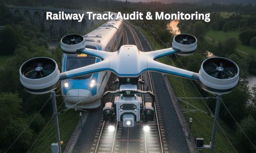
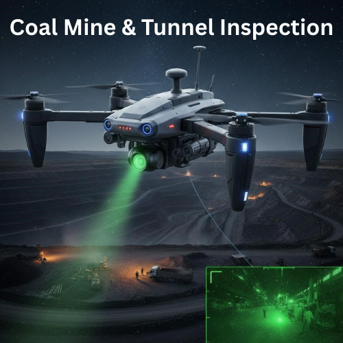
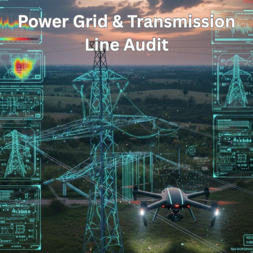
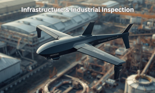
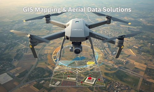
As part of its long-term growth strategy, Dronova Technology India Pvt. Ltd. is planning to expand into advanced drone-enabled inspection, monitoring, and analytics services for infrastructure, utilities, and industrial sectors.

These services are currently under development and will be launched in a phased manner after further technological validation, regulatory clearances, and operational readiness.

Dronova’s future service portfolio will be developed in alignment with:

✔ Indigenous technology development
✔ Regulatory compliance (DGCA and allied authorities)
✔ Safety and quality standards
✔ Industry partnerships
✔ Scalable deployment models

Our current focus remains on drone design, manufacturing, research, and skill development, which will form the foundation for these future service offerings.

Drone Light Shows

Dronova plans to offer customized drone light shows for national events, corporate programs, festivals, and public campaigns. These shows will use synchronized UAV swarms and intelligent control systems to deliver eco-friendly, noise-free, and visually engaging aerial displays.

Railway Track Audit & Monitoring

In the future, Dronova aims to provide drone-based inspection of railway tracks, bridges, and corridors for:
•Structural defect detection
•Preventive maintenance
•Safety monitoring
•Corridor surveillance

Coal Mine & Tunnel Inspection

Dronova is developing solutions for underground and surface mining inspections, including:
•Tunnel mapping
•Hazard identification
•Structural stability assessment
•Remote safety audits
 
These services will help reduce human risk in hazardous environments.

Power Grid & Transmission Line Audit

Planned drone-enabled inspection services will support power utilities in:
•Thermal monitoring
•Fault detection
•Vegetation management
•Asset condition assessment

Infrastructure & Industrial Inspection

Future offerings will include inspection of roads, bridges, factories, and large industrial facilities using high-resolution imaging and analytics.

Agricultural & Environmental Survey

Dronova intends to support agriculture and environmental monitoring through crop analysis, flood mapping, soil assessment, and ecosystem surveys.

GIS Mapping & Aerial Data Solutions

Planned mapping services will include topographic surveys, 3D terrain modeling, and urban planning support using industry-standard GIS tools.

Scroll to Top